
Exploring Spatio-Temporal Data as Personal Routes
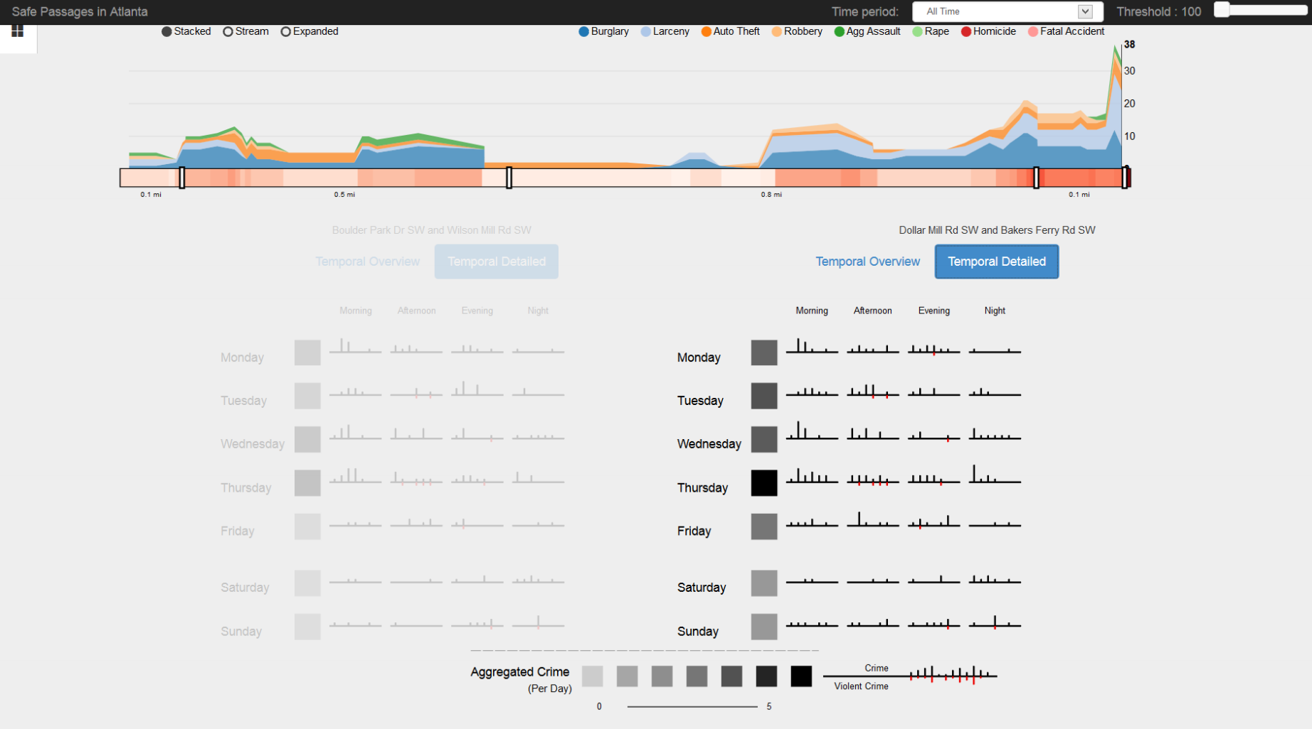
Spatio-temporal data is often displayed using regional aggregation or heatmaps, which are useful for exploring large distributed trends or working to unearth the cause of more localized behavior. For individual users that live and work in the region, however, these representations are inaccessible and difficult to put into practice. We present a new technique for exploring spatiotemporal data as personal routes through a geographic area. With this technique, users are able to examine the details of a subset of event records that are contextually relevant to a trip taken through the area of consideration. Our technique can be applied to any spatio-temporal data that consists of point events, and is demonstrated through a visualization system, Safe Passage, that displays crime data from an urban area in the context of pedestrian routes that users take through the city.
Exploring Spatio-Temporal Data as Personal Routes from VGTCommunity on Vimeo.
Authors
Godwin, A., Sainath, A., Jayakumar, S. O., Nabhi, V., Raut, S., & Stasko, J.
Venue
2014 Proceedings of the IEEE International Conference on Visualization (VIS)